ADVANCED REMOTE SENSING CONSULTING
Survey-Grade Accuracy for Your Most Complex Projects
High-resolution drone LiDAR and photogrammetry services, nationwide.
At Parker RSC, we specialize in delivering advanced remote sensing solutions to the AEC (Architecture, Engineering, and Construction) community. Our expert team leverages the latest technology to provide reliable, high-density datasets for engineering, design, and as-built documentation, ensuring your projects succeed.
By choosing Parker RSC, you’ll experience:
SAFER WORK ENVIRONMENTS through adherence to industry best practices
FASTER PROJECT TIMELINES thanks to rapid data collection
FEWER COSTLY ERRORS
due to superior accuracy and “boots on the ground” quality control
PEACE OF MIND
knowing you’re working with an industry-leading team of licensed professionals

Do you struggle with…
• Large LAS point files crashing CADD systems?
• Costly budgetary and timelines issues due to field crew “go-backs”?
• Complex terrains or urban environments needing precise data?
• Finding and retaining qualified land survey crews and senior office technicians?
• Slow data turnaround, delaying time-critical project decisions?
At Parker RSC, we go beyond standard survey services.
Our expertise in geospatial technology allows us to provide high-density, high-resolution data that supports decision-making across various industries. From civil surveys to renewable energy, we ensure survey-grade accuracy for all your project needs.
Aerial Photogrammetry
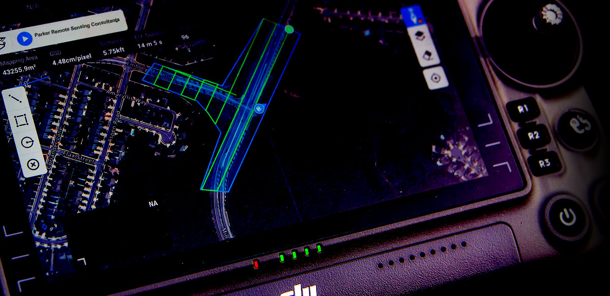
Capture highly detailed imagery and create 3D models with precision. Our team of licensed surveyors use state-of-the-art drones to provide clean, accurate data for design and planning.
Drone LiDAR Mapping
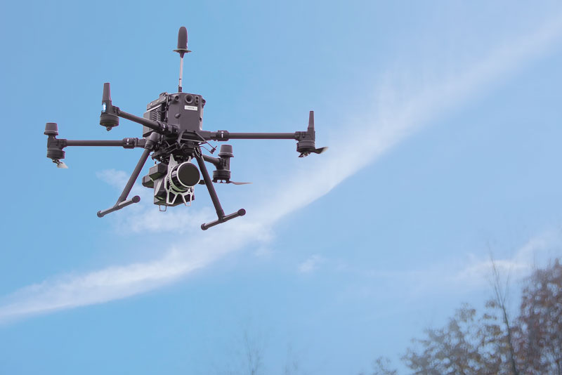
Access fast, high-resolution spatial data through our airborne LiDAR services. Ideal for topographic surveys, construction projects and renewable energy sites. Our technology ensures you get the most accurate information, even in challenging terrains and environments.
3D Laser Scanning
Our terrestrial 3D laser scanning services deliver detailed surface models and measurements, perfect for architecture and complex construction plans.
Your Trusted Source for Industry-Leading Deliverables
We offer a comprehensive suite of services tailored to meet the unique needs of every project:
- GPS Control Networks for precise geospatial positioning
- 2D Planimetric Linework for ALTA surveys, topographic base sheets, existing condition plans, and as-builts
- 3D Topographic Contour Mapping for accurate elevation models
- Volumetrics for design, construction, and resource management
- Ortho Mosaic Images for large-scale mapping and visualization
View a sample deliverable.
we understand the challenges that come with capturing high-precision data
ESPECIALLY IN COMPLEX ENVIRONMENTS.
With decades of combined experience in land development, transportation, and renewable energy, our team is equipped to provide the fast, accurate, and reliable data you need to keep your projects on track.
Your Path to Accurate Results:
Testimonials
I have had the pleasure of working with Russ Miles for over 15 years. Russ is an exceptional land surveyor whose precision and attention to detail set him apart in the Virginia Land Surveying industry. His deep knowledge of regulations and processes ensures every project is completed accurately and efficiently, providing clients with unmatched peace of mind. Russ’ professionalism and commitment to excellence make him a trusted partner for any land development need.
I’ve known Russ Miles for over 25 years and had the pleasure of working alongside him for several of those years. Russ is a meticulous land surveyor and excels using a systematic and organized approach to many of the challenges he faces. Russ’ relentless pursuit of knowledge is evident as he continually searches for the next challenge to overcome. He is rarely content with the status quo and is always looking for ways to “get better”. All these attributes lead to a consistently valuable, accurate and timely deliverable.
Scott Pattillo is one of the best aviators I know. I’ve personally flown with and worked with Scott over the years. Whether flying for pleasure or business, his extraordinary eye for safety and his attention to detail keeps those around him safe and comfortable. He is an excellent mentor for younger pilots as well. He espouses industry “best practice” when involved with anything aviation related. His flawless, enviable aviation safety record speaks for itself. His ability to mitigate risk is an attribute for any client. He is one of the best!
Russ L. Miles, LS
President / Managing Partner

With 30 years of experience in the AEC industry, Russ Miles brings a wealth of knowledge and leadership to Parker RSC. A graduate of the University of Maryland at College Park, Russ is a licensed professional land surveyor in Virginia and an experienced UAV drone pilot. His expertise extends across a wide range of projects, including land development, transportation, and renewable energy. His technical expertise, combined with his executive and managerial skills, ensures that every project is delivered with precision and efficiency. Russ’s commitment to safety, accuracy and operational excellence makes him a trusted partner in the industry.
J. Scott Pattillo
Chief Executive Officer / Managing Partner

Scott Pattillo is a seasoned aviation expert, with over 40 years of aviation of experience as a USAF Fighter Pilot and a retired Commercial Airline Pilot. He holds a bachelor’s degree in electrical engineering technology from Texas Tech University and is a licensed Airline Transport Pilot (ATP) and Part 107 Commercial Drone pilot. Scott’s passion for aviation safety, combined with his strong technical skills and executive leadership, ensures that Parker RSC consistently delivers high-quality, safe, and efficient results for clients.
Many projects face unnecessary costly delays without the right Team or Project Partners.
At Parker RSC, we provide state-of-the-art LiDAR, photogrammetry and 3D scanning solutions that deliver the precision you need to make informed decisions.
With our expertise, “boots on the ground” quality control and safety program your project will stay on track and within budget, achieving success with confidence.
get in touch
Have questions or need more details about our services? Fill out the form to request additional information or a personalized quote—we’re here to help your projects succeed!


